Most booked4.9(1,050)
From Venice · 9 hrs
From Venice: Dolomites Day Trip with Cortina and 2 Lakes
- Private or small groups available
- Driver
from $171
View tourGuides
Language
EnglishCurrency
US dollar · $Prices on GetYourGuide appear in your chosen currency.
A local guide picks you up in Misurina, drives the booked road to Rifugio Auronzo and walks you round the most famous peaks of the Dolomites.
Often full 6 days before the dateReserve now, pay later
Insert · the walk itself
A Dolomites hiking tour can mean a week of hut-to-hut trekking or a single guided morning. This one is the second kind, and it goes to the right place: a loop all the way round the Tre Cime di Lavaredo, the three towers that stand for the Dolomites on posters and screens.
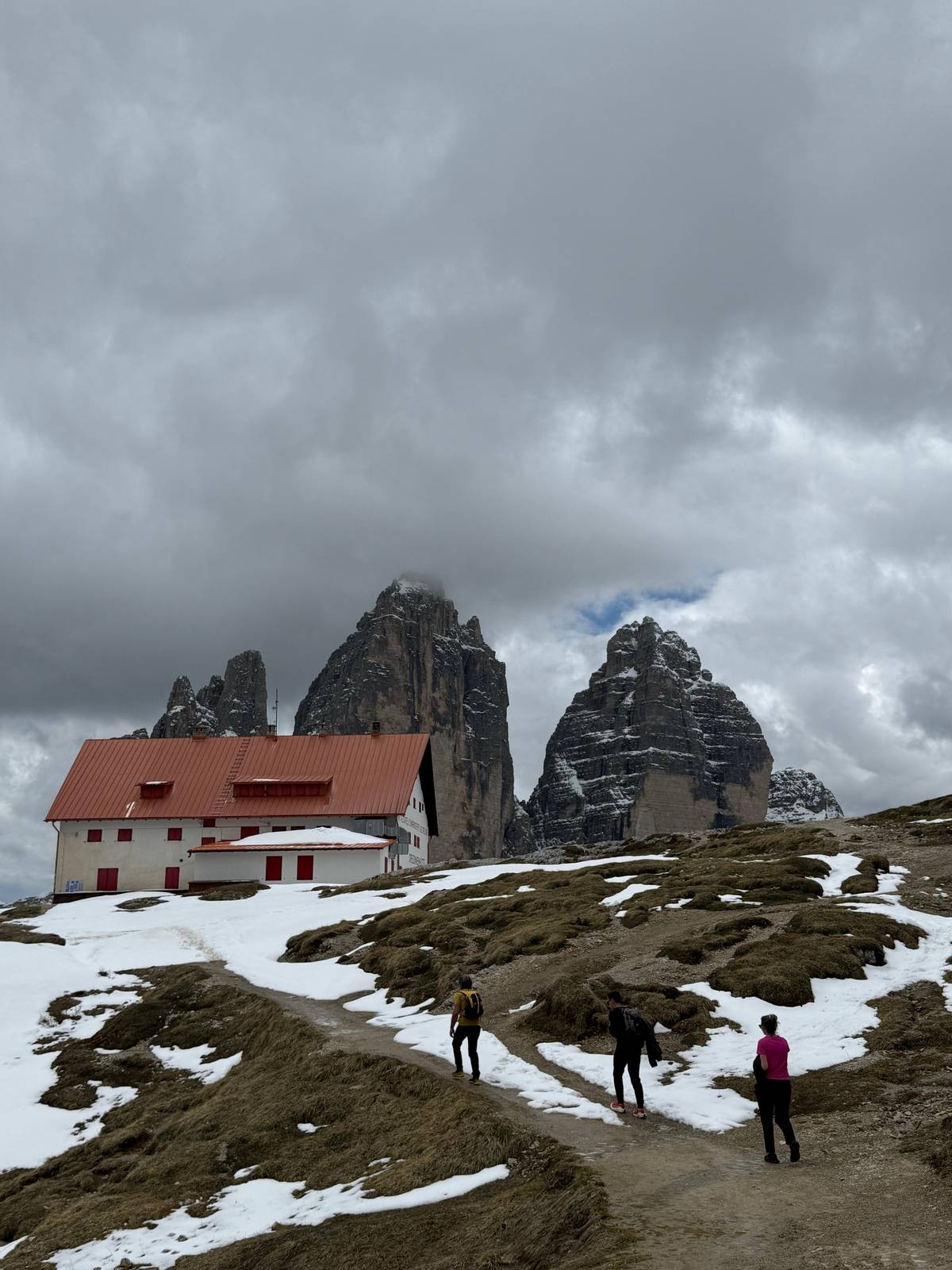
The guide meets you in Misurina and drives you 15 minutes up the toll road to Rifugio Auronzo, so you skip the hardest bit of planning a Tre Cime day yourself. From the hut the walk climbs to Forcella Lavaredo, at 2,450 m in the listing the highest point, crosses to Rifugio Locatelli opposite the north walls, then returns over Forcella Col di Mezzo.
On foot it is 10 km with 400 m of ascent, and the listing calls it suitable for beginners. The duration label says 5 hours and the itinerary lists 6 hours of hiking, so think of a long morning or a long afternoon, with the guide explaining the rock, the war and the wildlife as you go.
Why this walk
This guided loop starts with pick-up in Misurina and a 15-minute drive up the toll road to Rifugio Auronzo, toll included. On foot it covers 10 km with 400 m of ascent via Forcella Lavaredo and Rifugio Locatelli, described as suitable for beginners. It has 12 reviews, a rating of 4.93, and starts from $150.
Free cancellation up to 24 hours before
Insert · why these peaks
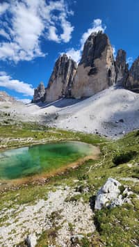
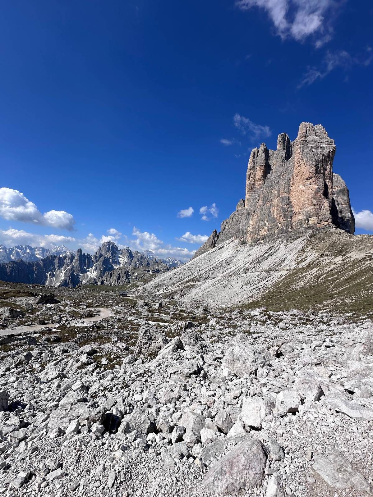
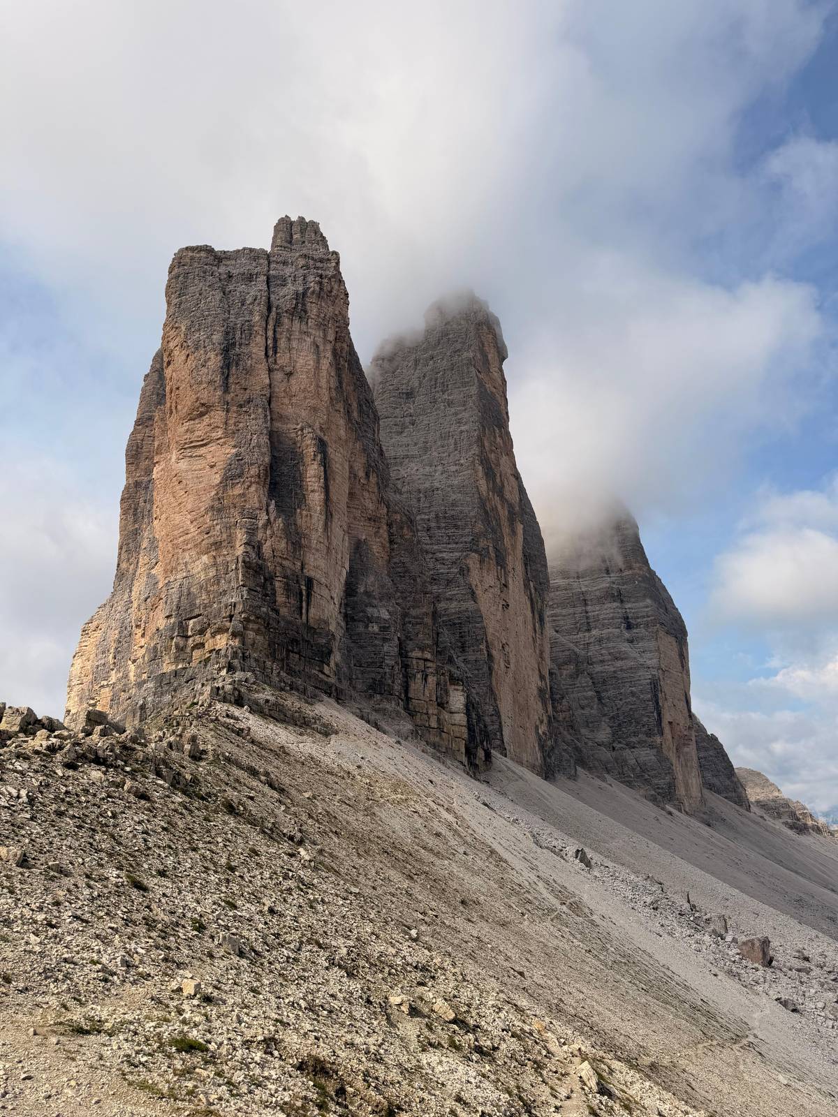
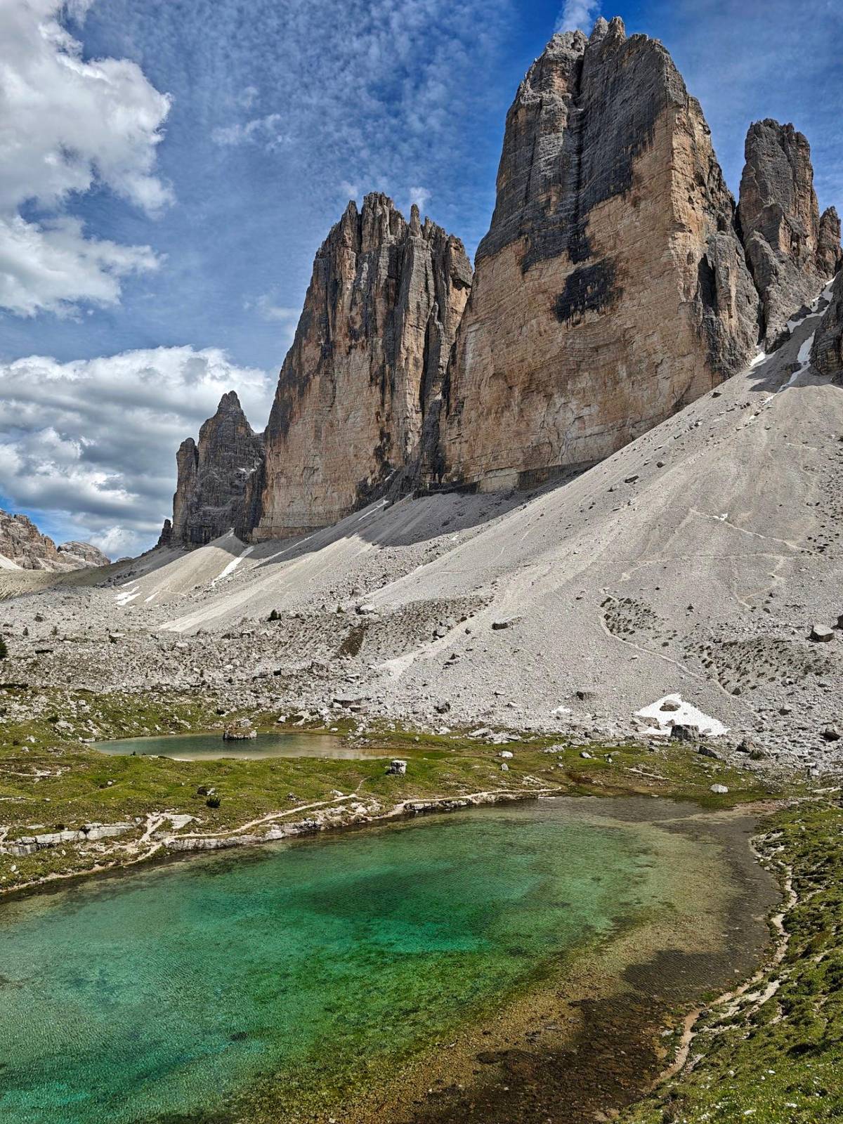
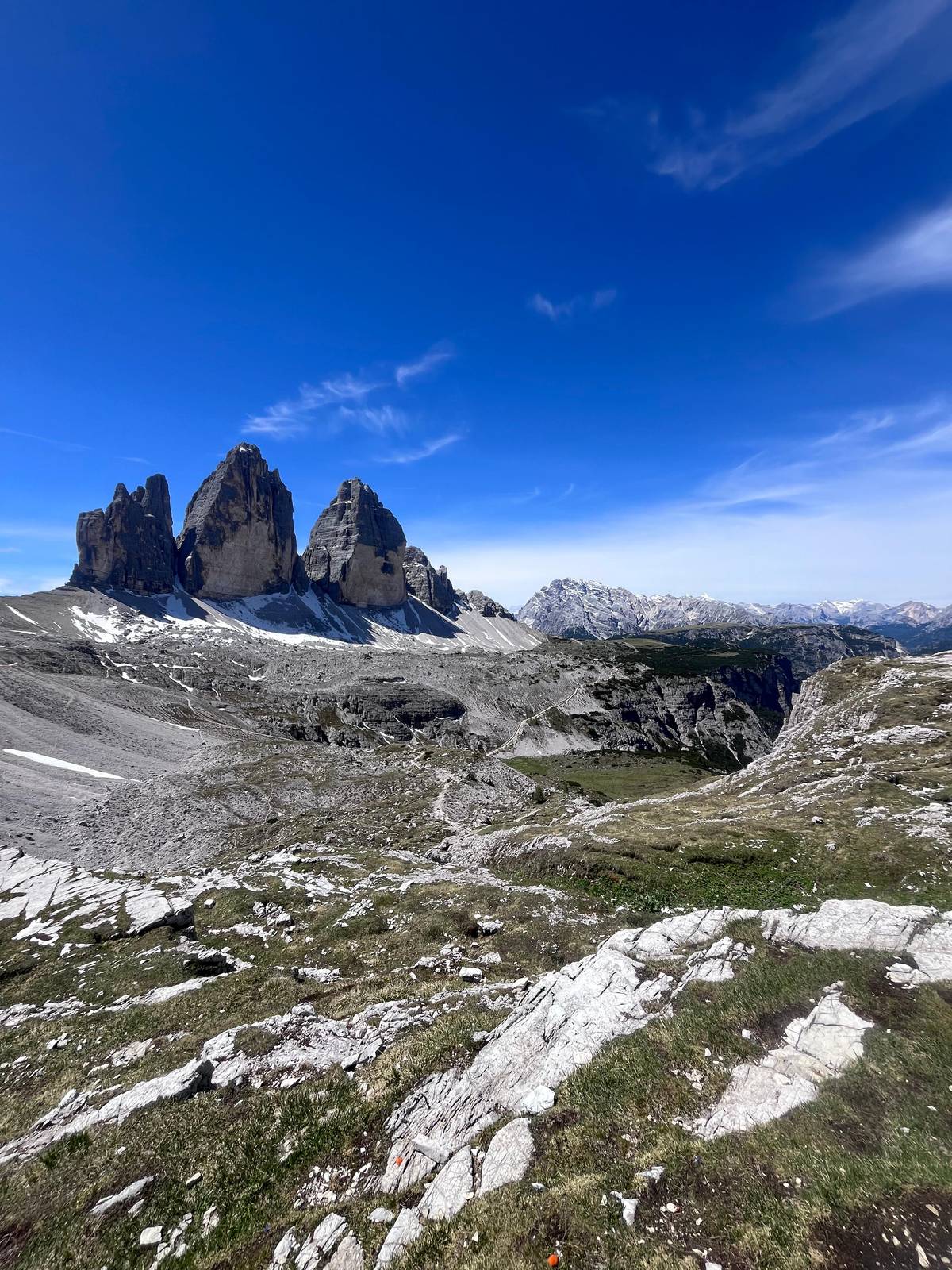
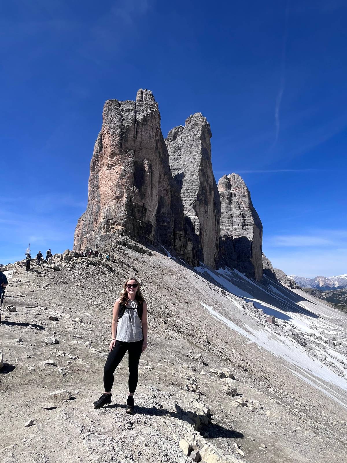
The Tre Cime are limestone towers on the border between South Tyrol and Veneto, inside the Tre Cime Natural Park and part of the Dolomites World Heritage Site since 2009. Cima Grande rises to 2,999 m, Cima Ovest to 2,973 m and Cima Piccola to 2,857 m.
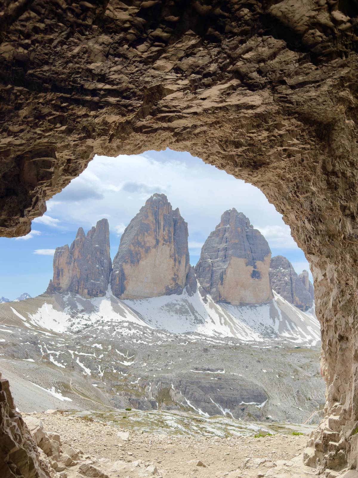
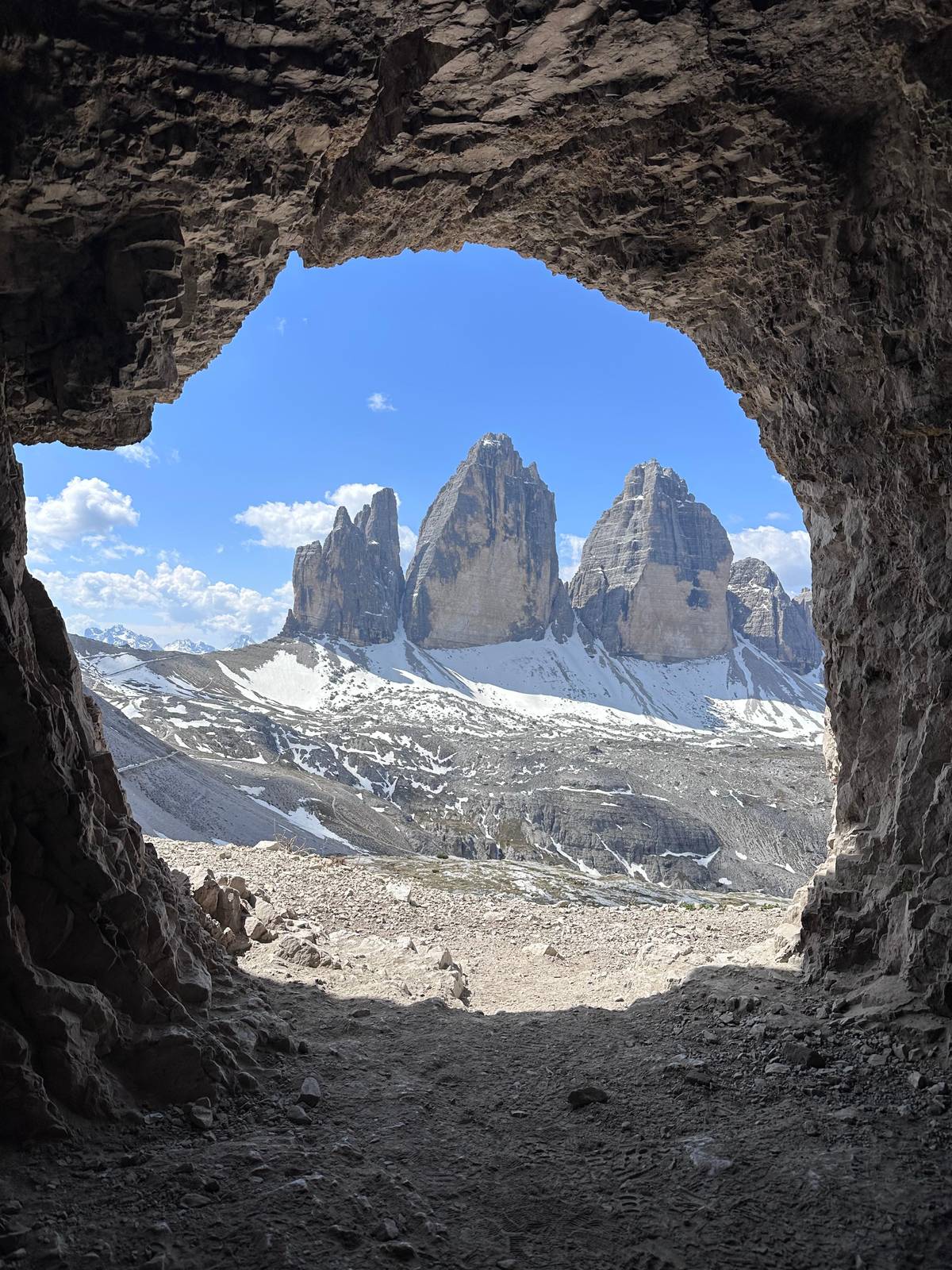
They look completely different depending on where you stand. From Misurina you see them from the south-west, with Cima Piccola almost hidden; the classic picture with all three side by side only appears at Forcella Lavaredo, and the north walls fill the view from Rifugio Locatelli. The loop is the way to see every side in one go.
They also carry a long story. In 1869 the Viennese climber Paul Grohmann made the first ascent of Cima Grande. During the First World War the front ran through the Dolomites, and the history of the Great War is part of what the guide tells you on this walk. The UNESCO Dolomites Foundation counts the Tre Cime in the Northern Dolomites, the largest of the nine systems of the World Heritage Site.
Reviews
 5.0
We were two on the loop with Natascia. The climbs come in short, manageable pieces with great views, and being collected at Misurina meant no worries about the toll or the bus queue.”
 StephanJuly 2026 · GetYourGuide
Verified
 5.0
A big thank you to Natascia for her good mood, her knowledge and her interest in us. I recommend it to anyone who wants to reach the Tre Cime without waiting for the bus or driving up.”
 LeneJuly 2026, as a couple · GetYourGuide
Verified
 5.0
A friendly, experienced guide who helped us throughout. I really recommend it: you enjoy the day on a safe path.”
 CristianeMay 2026 · GetYourGuide
Verified
 5.0
The peaks were beautiful and Natascia was brilliant, full of local history. She adjusted the hike to our level and the guides even moved the date for better weather.”
 VickyJune 2026 · GetYourGuide
Verified
 5.0
Natascia knows the Dolomites very well and shared lots of interesting information. She was kind, friendly and always willing to help, and made the whole day better.”
 TeresaJune 2026 · GetYourGuide
Verified
 5.0
An extraordinary hike with perfect route planning. Our guide picked us up at the Misurina car park and drove us up, so we never had to book parking ourselves.”
 YuJuly 2026 · GetYourGuide
Verified
Insert · what guests say
The reviews keep coming back to the guide. Guests describe a guide who knows the Dolomites well, shares their history and local knowledge along the way, and is kind, friendly and happy to help. One guest thanked her for her good humour and for the genuine interest she took in where they came from.
Pacing is the second theme. One guest wrote that the guide adjusted the hike to make it harder or easier as needed, and another that the climbs come in short, manageable steps with a view as the reward each time. One reviewer even noted that the guides moved the date to catch better weather.
The third theme is the logistics. Guests liked being collected at the car park by Lake Misurina and driven up, with no stress about the toll, the parking at Rifugio Auronzo or the queue for the bus. On a mountain where the road has to be booked, that is a real part of the value.
Compare
Also in Tre Cime di Lavaredo
Day trips, food and Prosecco tastings beyond the Tre Cime trail, priced live by GetYourGuide; cancellation is free.
From Venice · 9 hrs
from $171
View tour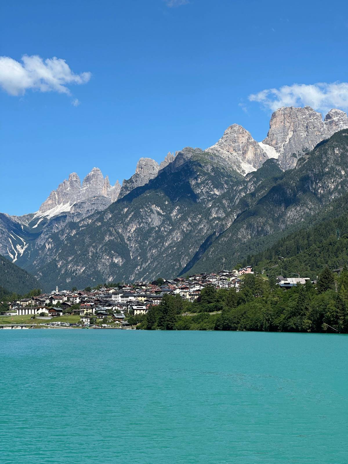
From Venice · 10 hrs
from $1,380
View tour
From Venice · 6 hrs
from $175
View tour
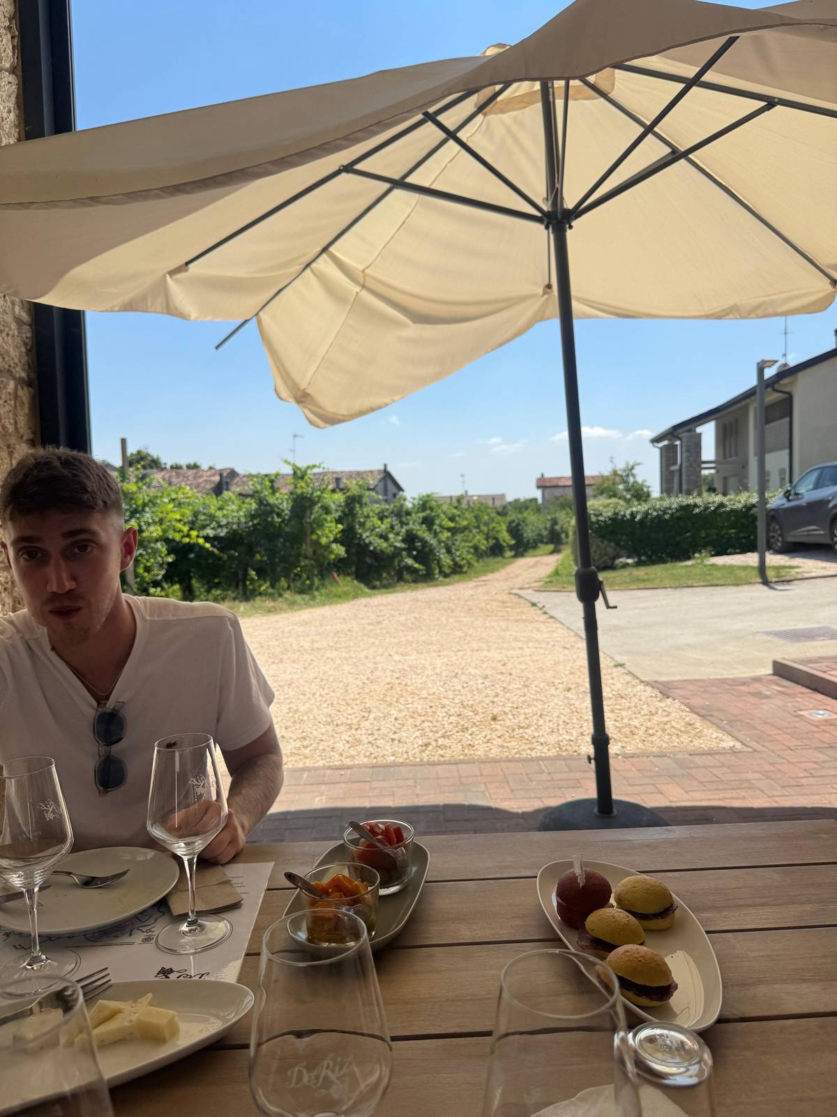
From San Pietro di Feletto · 1 to 2 hrs
from $34
View tour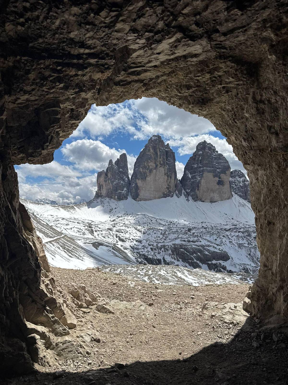
Insert · the season
The Municipality of Auronzo names late June to late September as the best time, when the trails are free of snow and all the huts are open. July and August are the busiest months; the second half of June and September are quieter, with good weather still likely.
The booked road to Rifugio Auronzo opens from late May to October, depending on snow and ice. Huts close one by one in autumn: in 2026 Rifugio Locatelli shut on 27 September, Rifugio Lavaredo on 11 October, while Rifugio Auronzo stayed open until the end of October, weather permitting.
In winter the road is closed to cars and the huts are shut, and the municipality advises against going up unless you are equipped for winter hiking or with a mountain guide. For this tour, plan on the summer and early autumn months.
Gallery
Insert · weather at altitude
The loop runs high: Rifugio Auronzo sits at 2,333 m and Forcella Lavaredo at 2,454 m. At that height the sun burns hard on a clear day, the wind cools you fast in the shade, and the weather can change within an hour. Cortina's tourism office advises an early start, when conditions tend to be more stable.
The climate chart on this page comes from the South Tyrol weather service station at Toblach / Dobbiaco, a valley station at 1,219 m, because no official station sits on the plateau itself. In July it averages a high of 23 °C and a low of 9.4 °C, with 12 days of rain of at least 1 mm.
Up at the Tre Cime it is markedly colder than that, so read the table for the shape of the year rather than the temperature you will feel at the pass. Pack a fleece and a waterproof shell for the pass in midsummer too; the listing makes the rain jacket part of the mandatory kit.
Your Tre Cime day
Meet in Misurina, ride up the booked road and cancel free until 24 hours before.
Insert · the road question
Cars only reach the car park at Rifugio Auronzo with an online reservation, and the road is about 6 km from near Lake Antorno. In 2026 a car pays 40 euros and a motorcycle 26 euros, and the ticket runs 12 hours from the booked time. Cancelling it for free is only possible up to 5 days before.
Buses are the alternative: Dolomitibus from Auronzo and Cortina and shuttle 444 from Dobbiaco from mid-June to the end of September. In July and August the municipality advises against boarding in Misurina because of long queues.
With this tour none of that is your problem. The guide drives you up from Misurina and the toll is included in the price; the listing names it as 40 euros per car. Your only booking is the tour itself, which you can cancel free of charge up to 24 hours before.
Weather
South Tyrol weather service tables for Toblach / Dobbiaco, 1991 to 2020; the trail is far higher and colder; day length calculated.South Tyrol weather service tables for Toblach / Dobbiaco, 1991 to 2020; the trail is far higher and colder; day length calculated.
Insert · your camera
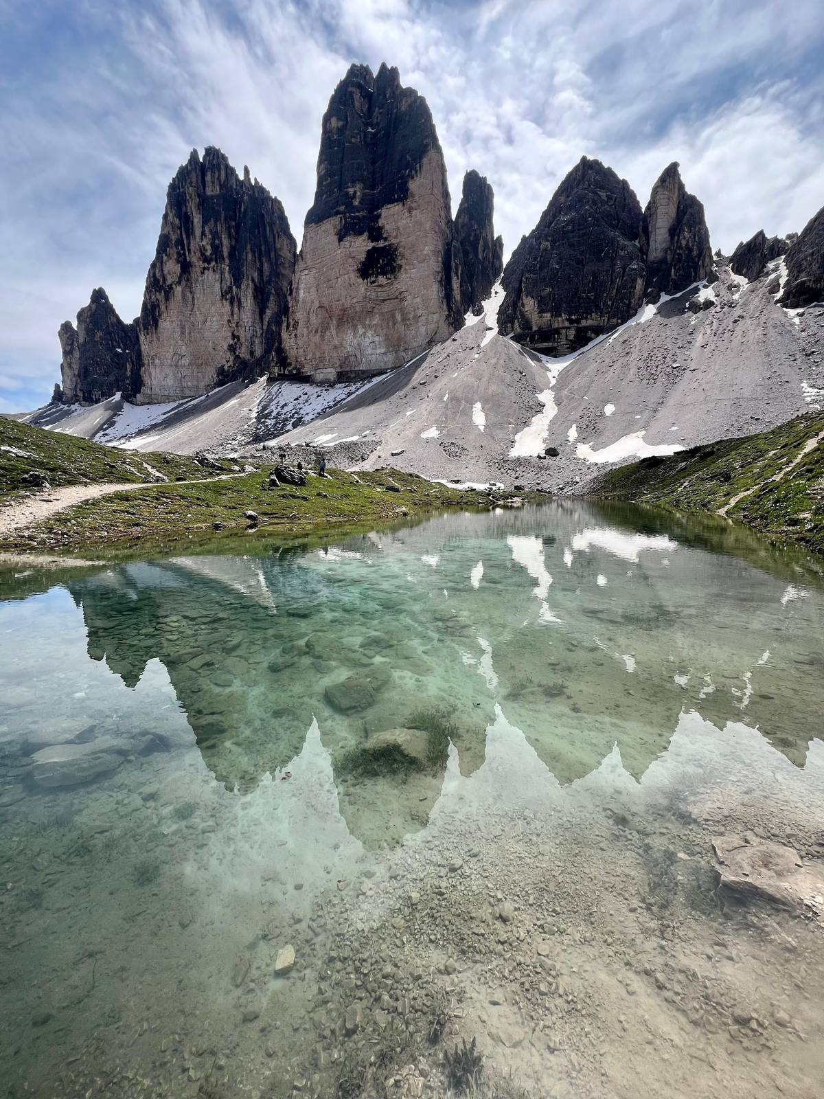
The municipality lists the best viewpoints: Rifugio Locatelli for the north walls, Forcella Lavaredo and the path just past Rifugio Lavaredo for the wide view, Malga Langalm for a greener angle, and the summit of Monte Paterno for those who climb its via ferrata.
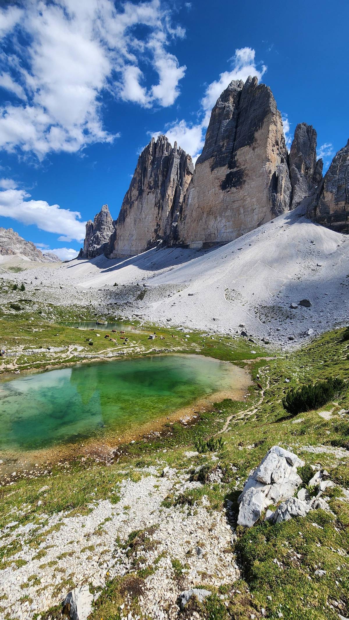
On the way back the path passes the small lakes of the Piani, where the walls reflect on a still morning. Wide-angle lenses help at Locatelli, where the peaks stand close and tall, while a short telephoto picks out the climbers on the Spigolo Giallo from Rifugio Lavaredo.
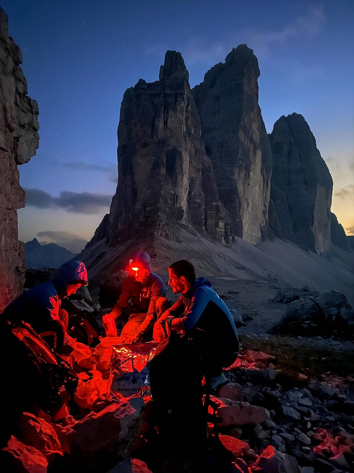
The famous alpenglow, Enrosadira, colours the walls pink and red at dawn and dusk, outside the hours of a daytime tour. If you want it, sleep in one of the huts that take guests on the loop and walk out at first light.
Above the loop
Cima Grande, the tallest of the Tre Cime, reaches 2,999 m.
Paul Grohmann made its first ascent in 1869; today the loop walks round its foot, past walls that climbers still call a dream.
Insert · what to bring
The listing is clear about the basics and makes them mandatory: a backpack, 1 litre of water, trekking shoes, a rain jacket and a mobile phone. Food is yours to bring, either a packed lunch or cash for the huts; extras at huts, bars and restaurants are not included.
Add a windbreaker and warm layers, a hat, sunglasses and sun cream; the municipality's own list for the Tre Cime adds a map or GPS app and a light backpack. Cortina's tourism office advises carrying cash, because cards may not work at mountain huts, especially in bad weather.
Do not rely on your phone for directions. The municipality notes that the signal along the Tre Cime trail can be limited, though some huts have it. With a guide that matters less, but it is still worth knowing that the emergency number in the mountains is 118.
The practical part
Insert · the guide
The tour runs with a live guide in English and Italian. Along the loop the guide talks about the geology of the Dolomites, the history of the Great War on these slopes, the plants and the animals, so the walk becomes a story rather than a list of viewpoints.
In Italy guiding in the mountains is a regulated profession under Law no. 6 of 1989, and hikers have the right to ask a guide for the professional card and check the register of the regional Collegio. Professionals must also carry insurance for their clients.
Most reviews mention their guide by name and praise her knowledge and patience. The listing offers English and Italian only, so pick one of them for the day, and do not hesitate to ask questions on the way.
10 km, about 5 to 6 hours. The duration label says 5 hours; the itinerary lists 6 hours of hiking.
In Misurina. The guide picks you up there and drives 15 minutes up the toll road to Rifugio Auronzo.
Yes. The drive from Misurina to Rifugio Auronzo on the toll road is part of the price.
Yes, says the listing. It is 10 km with 400 m of ascent on marked trails without technical difficulty.
Backpack, water, shoes, rain jacket, phone. The listing makes 1 litre of water mandatory; bring your own food too.
English and Italian. The tour runs with a live guide in English and Italian.
Late June to late September. Then the trails are free of snow and all the huts are open, says the municipality.
No, bring your own. Extras at the mountain huts, bars and restaurants are not included in the price.
Carry some cash. Cortina's tourism office warns that cards may not work at huts, especially in bad weather.
Cancel free or move the date. You can cancel free up to 24 hours ahead and book another day when the forecast looks better.
Insert · on your own
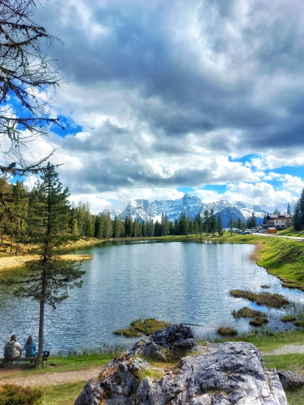
Misurina sits at 1,754 m on its own lake, with the Cadini di Misurina, Monte Cristallo and the Tre Cime around it. Cortina is about 30 minutes away by car over Passo Tre Croci, Dobbiaco about 25.
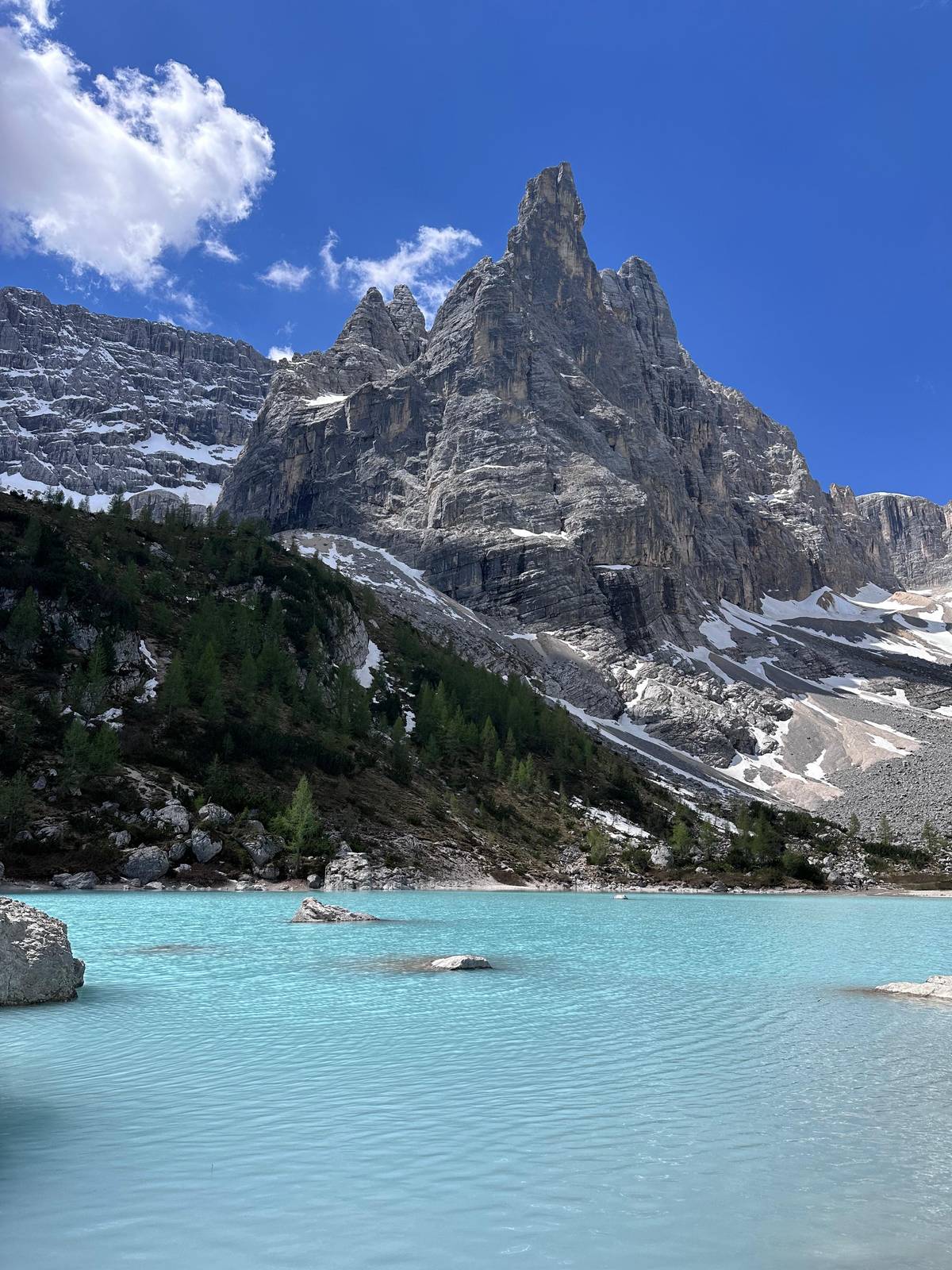
If you have a spare day, Lake Sorapis starts from Passo Tre Croci on path 215: about 4 hours and 10.5 km for experienced hikers, with ladders and wire-protected ledges before the turquoise lake. There is a guided version too, a loop of about 12 km to Rifugio Vandelli.
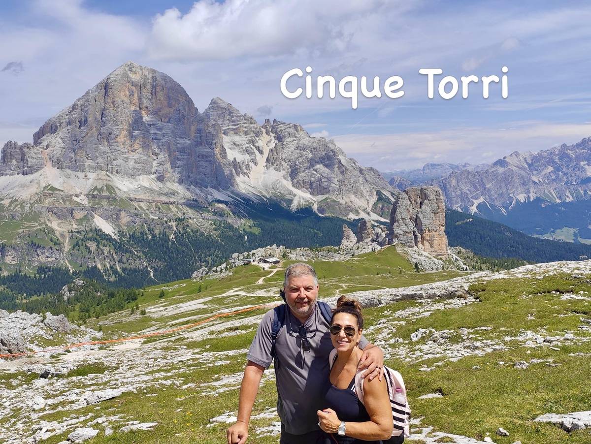
On the Cortina side, the Cinque Torri combine rock towers with an open-air museum of the Great War, and a chairlift takes you up from Bai de Dones. Together with the Tre Cime they make a strong short Dolomites hiking holiday without changing hotel.
Book, cancellation free →Book now
Dates and prices come straight from GetYourGuide as it shows them; we retype nothing.
Often full 6 days before the date
Insert · honest caveats
It suits first-time visitors who want the classic Tre Cime loop without booking a road slot, beginners who are fit enough for a long walk, and anyone who wants a local guide to explain what they see. Families do the loop too; the municipality calls it one of the most accessible routes in the Dolomites.
It is a walking tour, not a climb: there is no via ferrata and no summit, and if you want the Innerkofler route up Monte Paterno you need via ferrata kit and, ideally, a mountain guide. It is also a shared tour, not a private day; private and small-group Dolomites walking tour options are compared on a separate page of this site.
Be honest about altitude and weather. You walk all day high above the valleys; even Malga Langalm, the lowest hut on the loop, sits at 2,285 m. The guides may move a date for weather, and the season is summer and early autumn. If those conditions suit you, this is the easiest way to stand in front of the north walls.
The rating
Excellent
4.9
12 verified reviews on GetYourGuide
The bars count the 12 latest reviews this site keeps for the Tre Cime loop; GetYourGuide lists its best ones first. All 12 reviews average 4.9.
Before you go
Reserve now, pay nearer the day, and cancel without charge until 24 hours ahead. Every date and price comes live from GetYourGuide.
Often full 6 days before the date