 Road included
Guides
Language
EnglishCurrency
US dollar · $Prices on GetYourGuide appear in your chosen currency.
Guide · The classic loop
Tre Cime di Lavaredo hike: the loop step by step
The Tre Cime di Lavaredo hike everyone means is a loop of about 10 km from Rifugio Auronzo, round the back of the peaks and home again. Here is the route, the road you must book, and how a guide changes the day.
Check availabilityfrom $150 · free cancellation
Editorial team, dolomiteshikingtour.comUpdated October 25, 20266 minutes to read55 sources
Quick answer
The loop, from hut to hut
The classic circuit starts at Rifugio Auronzo, at 2,333 m and reachable by car, and follows path 101 east under the south faces.1 After about 20 minutes on an easy path you pass Rifugio Lavaredo at 2,344 m, which looks straight onto the Spigolo Giallo of Cima Piccola, a climbing route graded VI+.78
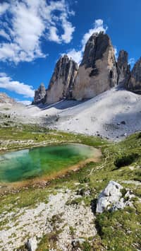
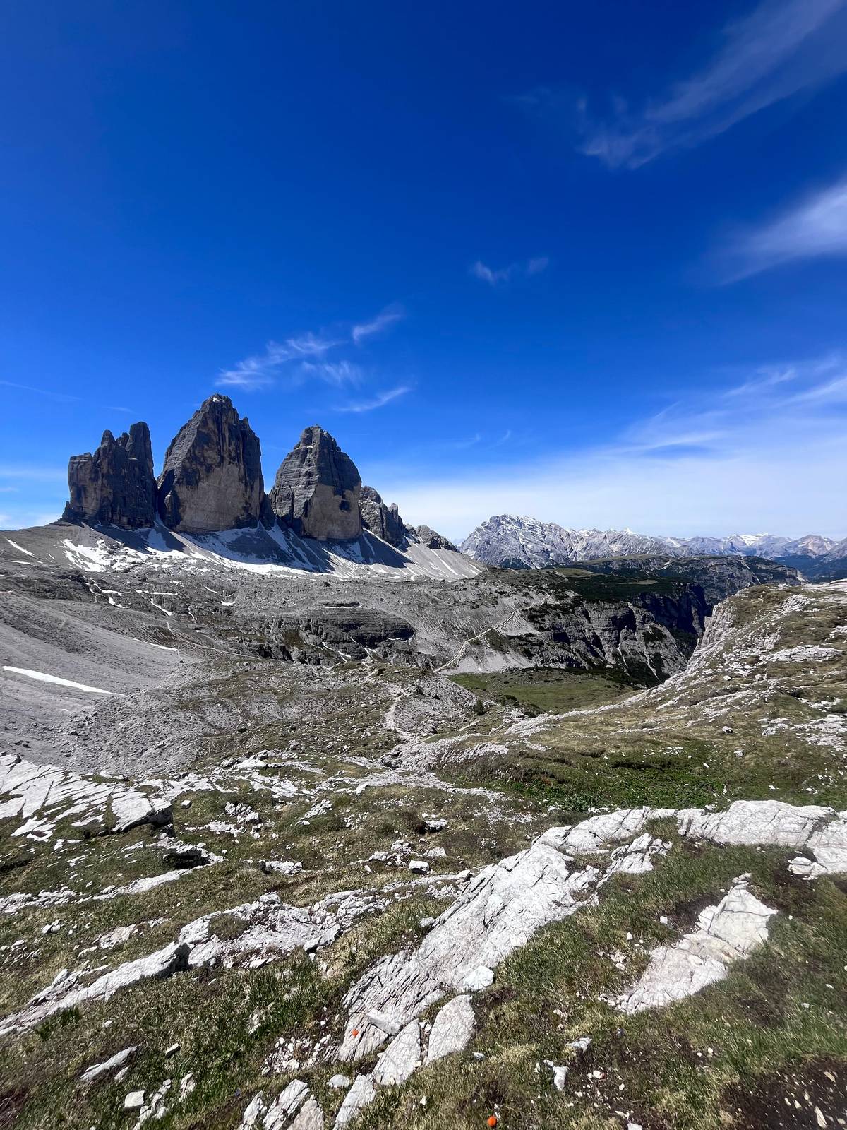
The path then rises to Forcella Lavaredo, at 2,454 m the highest point of the usual loop, and this is where the peaks suddenly line up side by side.19 From the pass you continue to Rifugio Locatelli, which sits opposite the north walls and gives the view that ends up on posters.9
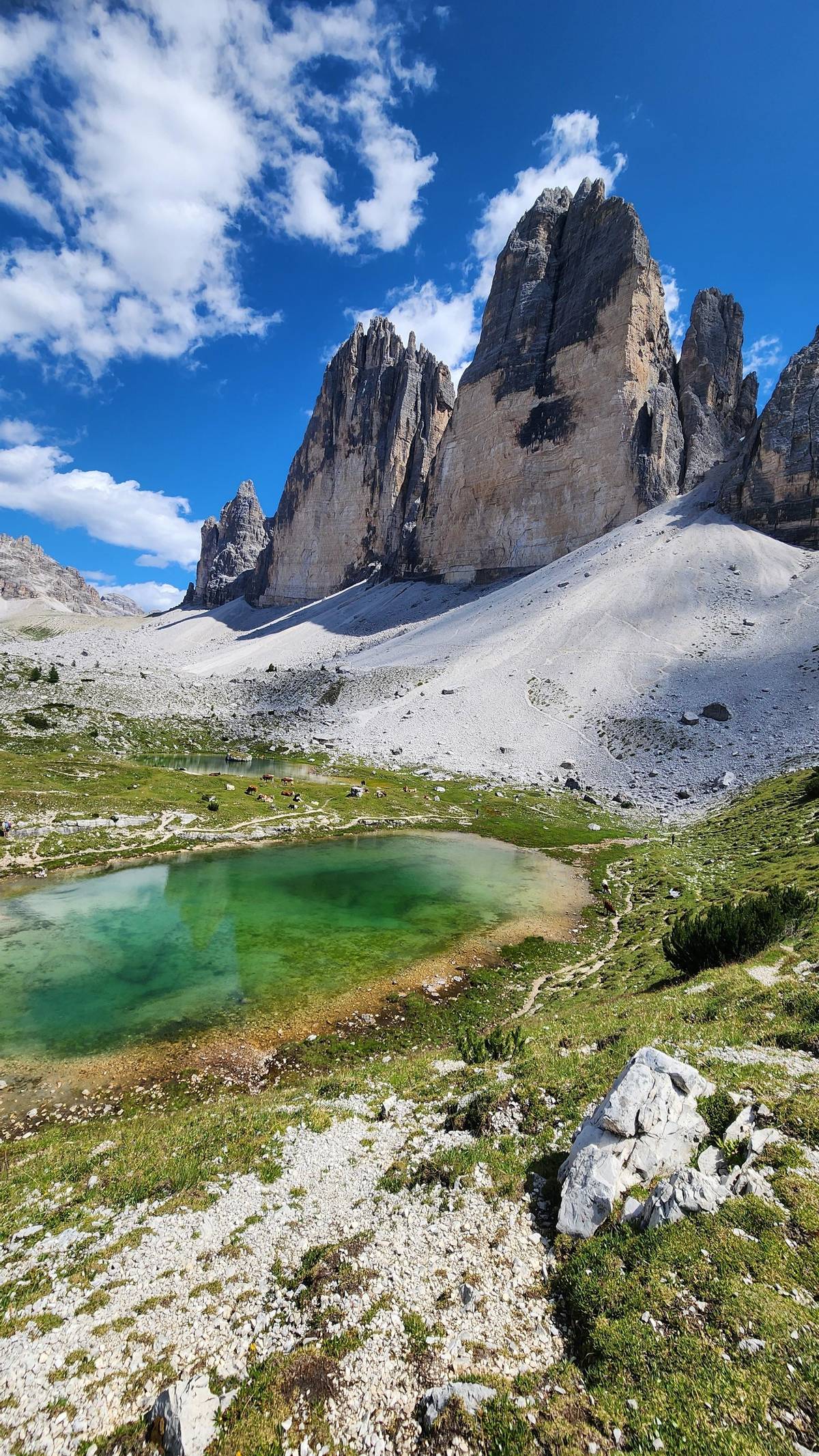
From Locatelli the loop drops gently past the small lakes of the Piani towards Malga Langalm, at 2,285 m the last stop before the circuit closes at Rifugio Auronzo.210 Most of the climbing on this direction of the loop comes before Forcella Lavaredo, so the second half feels like a long, easy return with the north walls behind you.
On the trail
The loop in stages
-
Start
Rifugio Auronzo
At 2,333 m, end of the booked road.1
-
20 minutes
Rifugio Lavaredo
-
High point
Forcella Lavaredo
At 2,454 m, the peaks side by side.1
-
North side
Rifugio Locatelli
The hut that faces the famous north walls.9
-
Way back
Malga Langalm
At 2,285 m, the last stop before the loop closes.10
Length, time and how hard it really is
The Municipality of Auronzo gives the classic loop as about 10 km with about 400 m of height difference, taking about 3 to 4 hours.3 It describes well marked trails without particular technical difficulty, and recommends the loop to families with children.11
So the Tre Cime di Lavaredo hike difficulty lies less in the terrain and more in the altitude and the weather. You walk the whole day high above the valleys, with Malga Langalm at 2,285 m the lowest hut on the loop; the air is thinner, the sun is strong and there is little shade.10 Weather at this height can change within an hour, which is why Cortina's tourism office advises starting early, when it tends to be more stable.12
The first stretch to Rifugio Lavaredo is a wide gravel track, the rest a mountain path over scree and grass. Allow time for stops: the municipality's 3 to 4 hours depends on your pace and a few stops, and a long lunch at a hut or a panoramic detour adds more.13 On a clear summer day the walking itself rarely feels hard; it is the long stops at the viewpoints that stretch the day, and that is part of the point.
Weather in the valley
Month by month at Toblach / Dobbiaco
| Month | Daylight (h) | Darkness (h) | High / low | Wet days | At the Tre Cime |
|---|---|---|---|---|---|
| Jan | 8.9 | 15.1 | 0 / -9 °C | 4 | Snow, road shut |
| Feb | 10.3 | 13.7 | 3 / -8 °C | 4 | Snow, road shut |
| Mar | 11.8 | 12.2 | 8 / -4 °C | 5 | Snow, road shut |
| Apr | 13.5 | 10.5 | 12 / 0 °C | 8 | Snow, road shut |
| May | 15 | 9 | 17 / 4 °C | 11 | Road opens late |
| Jun | 15.8 | 8.2 | 21 / 8 °C | 12 | From late June |
| Jul | 15.5 | 8.5 | 23 / 9 °C | 12 | Busiest month |
| Aug | 14.3 | 9.7 | 23 / 9 °C | 13 | Busiest month |
| Sep | 12.6 | 11.4 | 18 / 5 °C | 9 | Quieter, huts open |
| Oct | 11 | 13 | 12 / 2 °C | 8 | Huts closing |
| Nov | 9.4 | 14.6 | 6 / -3 °C | 7 | Snow, road shut |
| Dec | 8.6 | 15.4 | 0 / -8 °C | 5 | Snow, road shut |
Highs, lows and rainy days of at least 1 mm are our own averages of the South Tyrol weather service tables for Toblach / Dobbiaco (1,219 m), 1991 to 2020, a valley station far below the trail; day length is calculated by us.55 Season according to Municipality of Auronzo di Cadore.6
Your plan
Which way suits your day
Pick the line closest to your situation.
The hike lasts about 3-4 hours, with about 400 meters of difference in altitude and a total distance of 9-10 km, on well marked trails and without particular technical difficulties.
Getting up there: the booked road, buses or your feet
The road from Misurina to Rifugio Auronzo is about 6 km long and ends in a large car park under the south walls; the paid gate is about 3 km from Misurina.1819 Cars only get in with an online reservation, and in 2026 a car pays 40 euros, a motorcycle 26 euros.45 The ticket runs 12 hours from your booked time.20
Without a car, Dolomitibus runs to Rifugio Auronzo from Auronzo and Cortina, and shuttle 444 comes up from Dobbiaco station from mid-June to the end of September, with a reservation.21 In July and August the municipality advises against boarding in Misurina, where queues are long, and suggests an early bus from Auronzo instead.16
Strong walkers can skip the road altogether. From Val Marzon a quieter trail climbs to Rifugio Auronzo, about 960 m of ascent and four hours up.17 It turns the classic loop into a long, full mountain day.
Map
The Tre Cime loop, the Cortina hikes and the Alta Via 1
The guided loop around the Tre Cime from Misurina, the Cinque Torri and Lake Sorapis on the Cortina side, then the whole Alta Via 1 from Lago di Braies to Belluno.
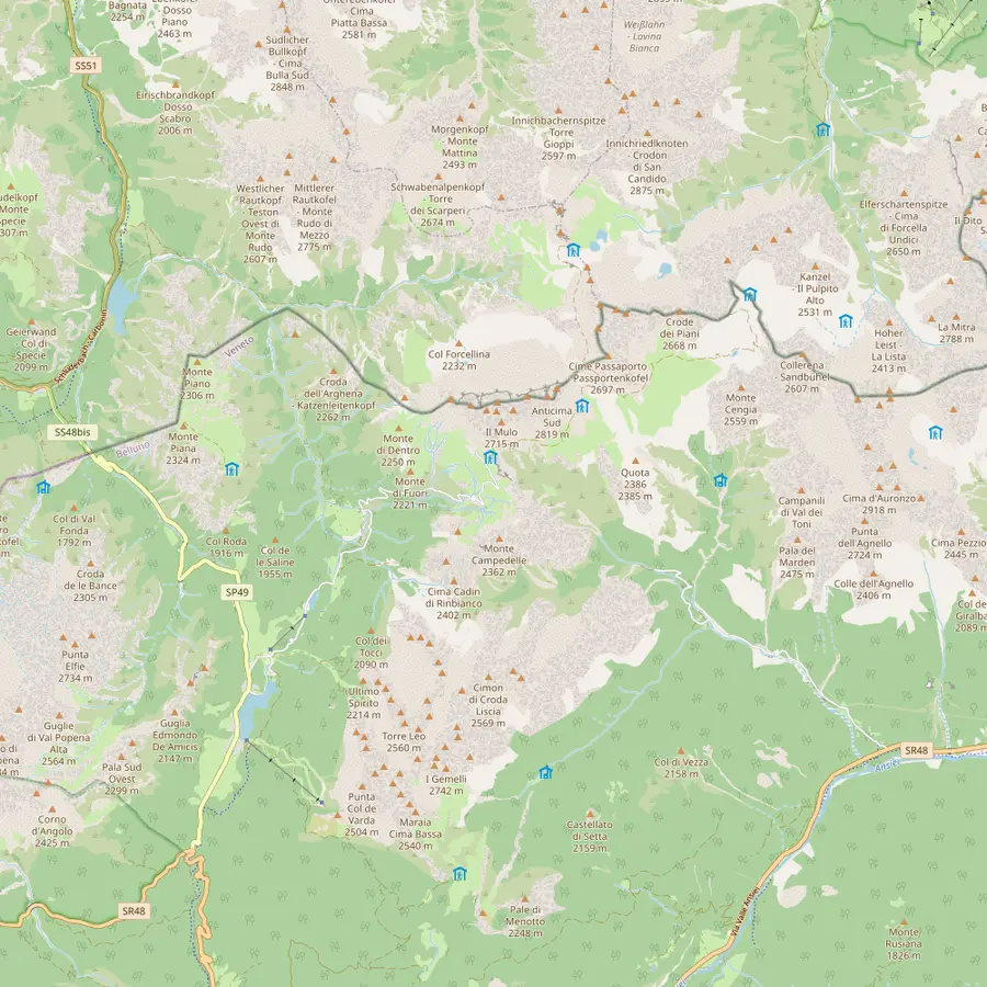 1Misurina2Lago d'Antorno3Rifugio Auronzo4Rifugio Lavaredo5Forcella Lavaredo6Rifugio Locatelli7Malga Langalm8Rifugio Pian di Cengia
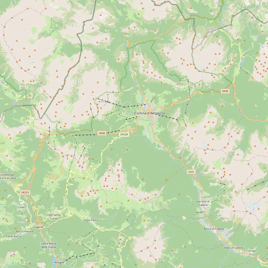 9Cortina d'Ampezzo10Passo Tre Croci11Rifugio Vandelli12Rifugio Scoiattoli13Rifugio Cinque Torri14Rifugio Averau15Rifugio Nuvolau16Passo di Giau17Rifugio Lagazuoi
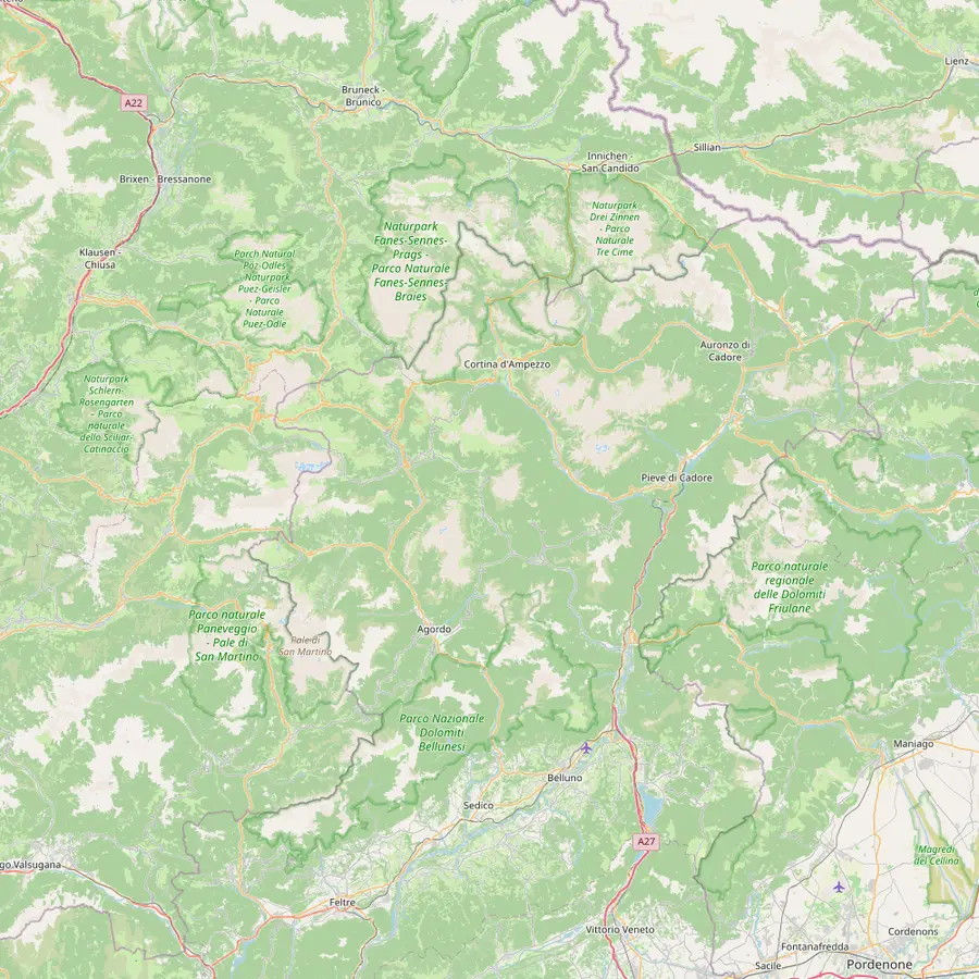 18Lago di Braies19Rifugio Biella20Rifugio Fanes21Rifugio Croda da Lago22Rifugio Coldai23Rifugio Vazzoler24Rifugio Carestiato25Rifugio Pian de Fontana26Rifugio 7° Alpini27Belluno
- 1Misurina
The village at 1,754 m where the guided Tre Cime tour of this site picks you up.14
In Google Maps ↗ - 2Lago d'Antorno
The bookable road to the Tre Cime starts near this small lake; the paid gate is about 3 km from Misurina.1922
In Google Maps ↗ - 3Rifugio Auronzo
Start and finish of the classic loop, at 2,333 m, with the big car park at the end of the road.1
In Google Maps ↗ - 4Rifugio Lavaredo
About 20 minutes on foot from Rifugio Auronzo, at 2,344 m.7
In Google Maps ↗ - 5Forcella Lavaredo
The pass at 2,454 m where the three peaks line up side by side.19
In Google Maps ↗ - 6Rifugio Locatelli
The hut facing the north walls, the classic photo stop of the loop.9
In Google Maps ↗ - 7Malga Langalm
At 2,285 m, the last stop before the loop closes at Rifugio Auronzo.10
In Google Maps ↗ - 8Rifugio Pian di Cengia
A quieter hut at 2,528 m, reached on more demanding trails.23
In Google Maps ↗ - 9Cortina d'Ampezzo
The town the Cinque Torri and Sorapis hikes start from; about 30 minutes by car to Misurina.24
In Google Maps ↗ - 10Passo Tre Croci
Trailhead of path 215 to Lake Sorapis.25
In Google Maps ↗ - 11Rifugio Vandelli
The hut beside Lake Sorapis, at 1,926 m.26
In Google Maps ↗ - 12Rifugio Scoiattoli
At 2,255 m by the top of the Cinque Torri chairlift, where the 5 Torri tour starts.27
In Google Maps ↗ - 13Rifugio Cinque Torri
Opened in 1904, at the foot of the towers.28
In Google Maps ↗ - 14Rifugio Averau
At Forcella Averau, 2,413 m.29
In Google Maps ↗ - 15Rifugio Nuvolau
Built in 1883 at 2,575 m, the oldest hut in the Dolomites.30
In Google Maps ↗ - 16Passo di Giau
Start of the hike up to Rifugio Nuvolau.31
In Google Maps ↗ - 17Rifugio Lagazuoi
At 2,752 m by the cable car from Passo Falzarego.32
In Google Maps ↗ - 18Lago di Braies
Start of stage 1 of the Alta Via 1.33
In Google Maps ↗ - 19Rifugio Biella
At 2,327 m, end of stage 1, usually open mid-June to mid-September.3435
In Google Maps ↗ - 20Rifugio Fanes
End of stage 2 and start of the climb to Lagazuoi.3637
In Google Maps ↗ - 21Rifugio Croda da Lago
End of stage 5 from Rifugio Nuvolau.38
In Google Maps ↗ - 22Rifugio Coldai
On stage 7 from Palafavera towards Rifugio Vazzoler.39
In Google Maps ↗ - 23Rifugio Vazzoler
End of stage 7.39
In Google Maps ↗ - 24Rifugio Carestiato
End of stage 8.40
In Google Maps ↗ - 25Rifugio Pian de Fontana
End of stage 10.41
In Google Maps ↗ - 26Rifugio 7° Alpini
Start of the last stage down to Belluno.42
In Google Maps ↗ - 27Belluno
Where the Alta Via 1 ends, at 389 m.43
In Google Maps ↗
Packing
What the municipality says to bring
01
Wear and carry
- Hiking boots for trekking
- Layers with a wind and rain jacket
- Water and a packed lunch
- Hat, sunglasses and sun cream
02
Also useful
- Cash for the huts
- A map or GPS app
- Your road booking
- A plan without phone signal
Video
What to know before you hike the Tre Cime
No data goes to YouTube until you press play on this clip.
The guided Tre Cime di Lavaredo loop hike
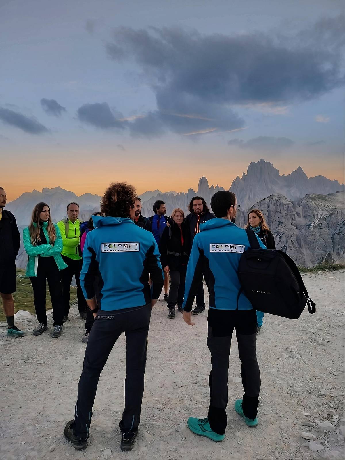
The tour behind this site takes away the road question. The guide meets you in Misurina, drives you 15 minutes up the toll road to Rifugio Auronzo, and the toll is in the price. On foot it is the Tre Cime di Lavaredo loop hike of 10 km and 400 m, via Forcella Lavaredo and Rifugio Locatelli, returning over Forcella Col di Mezzo.
The duration label says 5 hours and the itinerary lists 6 hours of hiking, so think of it as a half day plus. The guide speaks English and Italian and explains the geology, the Great War on these slopes, the plants and the animals as you walk. It has 12 reviews with a rating of 4.93.
You bring a backpack, 1 litre of water, trekking shoes, a rain jacket and a phone, which the listing makes mandatory, plus your own food. Extras at the huts are not included. The price starts from $150, and cancelling costs nothing until 24 hours before the walk.
When to go, and when the huts close
The municipality names late June to late September as the best time, when the trails are free of snow and all the huts are open.6 July and August are the busiest months; the second half of June and September are quieter.44 The road itself opens from late May to October, depending on snow and ice.19
Closing dates matter at the end of the season. In 2026 Rifugio Locatelli and Malga Langalm closed on 27 September, Rifugio Lavaredo on 11 October, while Rifugio Auronzo stayed open until the end of October, weather permitting.454647 In winter the road is closed to cars and the huts are shut.48
The climate table on this page comes from the valley station at Toblach / Dobbiaco, far below the loop. Read it for the pattern of the year, not for the temperature at Forcella Lavaredo, which is a good deal colder.
The peaks you are walking around
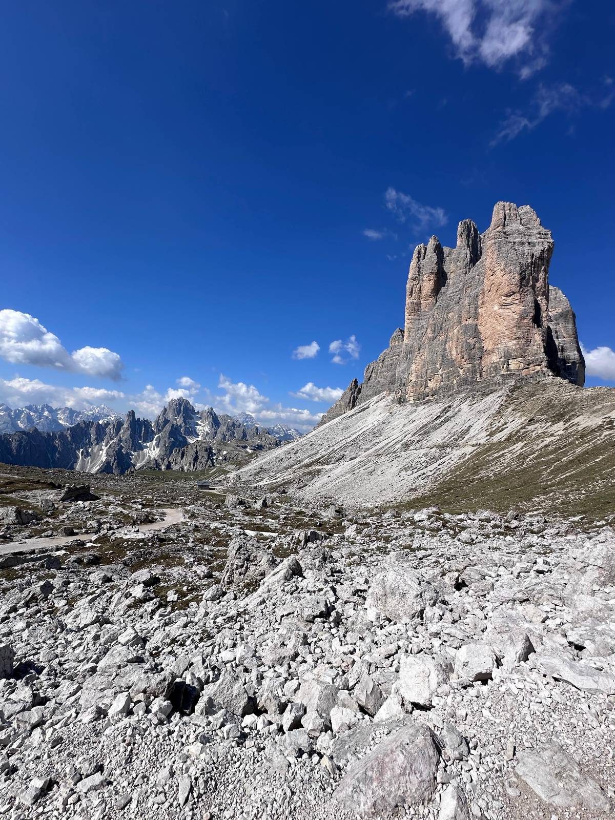
The Tre Cime are three limestone towers on the border between South Tyrol and Veneto, inside the Tre Cime Natural Park and part of the Dolomites World Heritage Site since 2009.4950 Cima Grande reaches 2,999 m, Cima Ovest 2,973 m and Cima Piccola 2,857 m.15
Their climbing history is old: in 1869 the Viennese climber Paul Grohmann made the first ascent of Cima Grande.51 Today the climbers you watch on the walls are on routes like the Spigolo Giallo, while hikers stay on the paths below.8
For a higher view, the Innerkofler via ferrata climbs Monte Paterno from near Rifugio Locatelli, about 2 to 3 hours round trip, rated medium and only with via ferrata kit.52 That is a different outing from the loop, and a good reason to hire a mountain guide if you have never clipped into a cable.
Light, longer variants and a night up high
Light changes the walls more than any viewpoint. At dawn and at sunset the dolomite rock glows from pink to deep red, the effect locals call Enrosadira, and Rifugio Locatelli faces the north walls where that glow is easiest to watch.539 Seeing it means being up high early or late, which is easiest if you sleep there.
Several huts on and near the loop take overnight guests: Rifugio Auronzo, Rifugio Lavaredo, Rifugio Locatelli and Rifugio Pian di Cengia, with booking advised in high season.54 Pian di Cengia, at 2,528 m, is quieter and reached by more demanding trails, and it is the base for the longer Giro dei Tre Rifugi.23
There is also a guided evening option: a sunset and stargazing hike that meets at Rifugio Auronzo in the late afternoon, about 6 km and 250 m of ascent, ending with a telescope and a hot drink. It has no reviews yet, and you bring your own dinner.
Your Tre Cime day
Walk round the Tre Cime with a local guide.
Meet in Misurina, ride up the booked road and cancel free until 24 hours before.


You ask,we answer.
How long is the Tre Cime loop?
About 10 km. The municipality gives about 10 km and about 3 to 4 hours from Rifugio Auronzo.3
How much does the Tre Cime road cost?
40 euros for a car in 2026. Motorcycles pay 26 euros; cars need an online reservation to get in.54
Can I reach the Tre Cime without a car?
Yes, by bus or shuttle. Dolomitibus runs from Auronzo and Cortina; shuttle 444 from Dobbiaco in summer.21
Is the loop suitable for children?
The municipality says yes. It calls the classic loop one of the most accessible routes, with rest points and huts.11
What is the highest point of the loop?
Forcella Lavaredo, 2,454 m. The pass on path no. 101 where the peaks line up side by side.1
Does the guided tour include the road?
Yes, from Misurina. The guide drives you up to Rifugio Auronzo and the toll is in the price.
Can I sleep in a hut on the loop?
Yes, in several of them. Rifugio Auronzo, Lavaredo, Locatelli and Pian di Cengia take guests; book ahead.54
Sources
Evidence for this guide
- 1Municipality of Auronzo di Cadore (auronzo.info)The Tre Cime di Lavaredo, One of The Natural Wonders of Italy↩
- 2Municipality of Auronzo di Cadore (auronzo.info)The Tre Cime di Lavaredo, One of The Natural Wonders of Italy↩
- 3Municipality of Auronzo di Cadore (auronzo.info)The Tre Cime di Lavaredo, One of The Natural Wonders of Italy↩
- 4Municipality of Auronzo di Cadore (auronzo.info)Parking Tre Cime di Lavaredo↩
- 5Municipality of Auronzo di Cadore (auronzo.info)Parking Tre Cime di Lavaredo↩
- 6Municipality of Auronzo di Cadore (auronzo.info)The Tre Cime di Lavaredo, One of The Natural Wonders of Italy↩
- 7Municipality of Auronzo di Cadore (auronzo.info)The Tre Cime di Lavaredo, One of The Natural Wonders of Italy↩
- 8Municipality of Auronzo di Cadore (auronzo.info)The Tre Cime di Lavaredo, One of The Natural Wonders of Italy↩
- 9Municipality of Auronzo di Cadore (auronzo.info)The Tre Cime di Lavaredo, One of The Natural Wonders of Italy↩
- 10Municipality of Auronzo di Cadore (auronzo.info)The Tre Cime di Lavaredo, One of The Natural Wonders of Italy↩
- 11Municipality of Auronzo di Cadore (auronzo.info)The Tre Cime di Lavaredo, One of The Natural Wonders of Italy↩
- 12Cortina d'Ampezzo tourism (Cortina Marketing)Tips for experiencing the mountains↩
- 13Municipality of Auronzo di Cadore (auronzo.info)The Tre Cime di Lavaredo, One of The Natural Wonders of Italy↩
- 14Municipality of Auronzo di Cadore (auronzo.info)Misurina, the Pearl of the Dolomites↩
- 15Municipality of Auronzo di Cadore (auronzo.info)The Tre Cime di Lavaredo, One of The Natural Wonders of Italy↩
- 16Municipality of Auronzo di Cadore (auronzo.info)How to get to the Tre Cime di Lavaredo↩
- 17Municipality of Auronzo di Cadore (auronzo.info)How to get to the Tre Cime di Lavaredo↩
- 18Municipality of Auronzo di Cadore (auronzo.info)How to get to the Tre Cime di Lavaredo↩
- 19Municipality of Auronzo di Cadore (auronzo.info)How to get to the Tre Cime di Lavaredo↩
- 20Municipality of Auronzo di Cadore (auronzo.info)Parking Tre Cime di Lavaredo↩
- 21Municipality of Auronzo di Cadore (auronzo.info)How to get to the Tre Cime di Lavaredo↩
- 22Municipality of Auronzo di Cadore (auronzo.info)Parking Tre Cime di Lavaredo↩
- 23Municipality of Auronzo di Cadore (auronzo.info)The Tre Cime di Lavaredo, One of The Natural Wonders of Italy↩
- 24Municipality of Auronzo di Cadore (auronzo.info)Misurina, the Pearl of the Dolomites↩
- 25Cortina d'Ampezzo tourism (Cortina Marketing)To Lago Sorapis↩
- 26Cortina d'Ampezzo tourism (Cortina Marketing)Rifugio Vandelli↩
- 27Cortina d'Ampezzo tourism (Cortina Marketing)5 Torri tour↩
- 28Cortina d'Ampezzo tourism (Cortina Marketing)To Rifugio Cinque Torri↩
- 29Cortina d'Ampezzo tourism (Cortina Marketing)Rifugio Averau↩
- 30Cortina d'Ampezzo tourism (Cortina Marketing)Rifugio Nuvolau↩
- 31Cortina d'Ampezzo tourism (Cortina Marketing)To Rifugio Nuvolau↩
- 32Cortina d'Ampezzo tourism (Cortina Marketing)Ascent to the summit of Piccolo Lagazuoi↩
- 33Cortina d'Ampezzo tourism (Cortina Marketing)Alta Via N.1↩
- 34Cortina d'Ampezzo tourism (Cortina Marketing)Alta Via N.1 - Stage 1↩
- 35Cortina d'Ampezzo tourism (Cortina Marketing)Alta Via N.1 - Stage 1↩
- 36Cortina d'Ampezzo tourism (Cortina Marketing)Alta Via N.1↩
- 37Cortina d'Ampezzo tourism (Cortina Marketing)Alta Via N.1↩
- 38Cortina d'Ampezzo tourism (Cortina Marketing)Alta Via N.1↩
- 39Cortina d'Ampezzo tourism (Cortina Marketing)Alta Via N.1↩
- 40Cortina d'Ampezzo tourism (Cortina Marketing)Alta Via N.1↩
- 41Cortina d'Ampezzo tourism (Cortina Marketing)Alta Via N.1↩
- 42Cortina d'Ampezzo tourism (Cortina Marketing)Alta Via N.1↩
- 43Cortina d'Ampezzo tourism (Cortina Marketing)Alta Via N.1 - Stage 12↩
- 44Municipality of Auronzo di Cadore (auronzo.info)The Tre Cime di Lavaredo, One of The Natural Wonders of Italy↩
- 45Municipality of Auronzo di Cadore (auronzo.info)Mountain hut closures in Auronzo, Misurina and the Tre Cime: 2026 dates↩
- 46Municipality of Auronzo di Cadore (auronzo.info)Mountain hut closures in Auronzo, Misurina and the Tre Cime: 2026 dates↩
- 47Municipality of Auronzo di Cadore (auronzo.info)Mountain hut closures in Auronzo, Misurina and the Tre Cime: 2026 dates↩
- 48Municipality of Auronzo di Cadore (auronzo.info)The Tre Cime di Lavaredo, One of The Natural Wonders of Italy↩
- 49Municipality of Auronzo di Cadore (auronzo.info)The Tre Cime di Lavaredo, One of The Natural Wonders of Italy↩
- 50Municipality of Auronzo di Cadore (auronzo.info)The Tre Cime di Lavaredo, One of The Natural Wonders of Italy↩
- 51Municipality of Auronzo di Cadore (auronzo.info)The Tre Cime di Lavaredo, One of The Natural Wonders of Italy↩
- 52Municipality of Auronzo di Cadore (auronzo.info)The Tre Cime di Lavaredo, One of The Natural Wonders of Italy↩
- 53Cortina d'Ampezzo tourism (Cortina Marketing)Dolomiti UNESCO↩
- 54Municipality of Auronzo di Cadore (auronzo.info)The Tre Cime di Lavaredo, One of The Natural Wonders of Italy↩
- 55South Tyrol weather service (Province of Bolzano)Monats- und Jahresmittel der Minimal- und Maximaltemperatur, 41000MS Toblach / Dobbiaco, Station Toblach / Dobbiaco (Province of Bolzano 41000MS), 1991 to 2020↩
Keep reading